Article · Field note 41
A camera dives on a narrow track
A remotely operated vehicle can send live video from several kilometers below the surface. Scientists on the ship and on shore can examine habitats, identify animals, and decide where to look next. The resulting frame may be beautiful, but it is also a data point with boundaries: the camera was at a particular depth, on a route, at a time, with a certain light and field of view. Understanding those boundaries is part of reading the image.
NOAA explains that a remotely operated vehicle, or ROV, can carry video and still cameras, sensors, water samplers, and manipulator arms (NOAA overview). Which equipment is mounted depends on the mission. A vehicle configured for high-resolution imaging may not have the same sampling capacity as one designed to collect rocks or animals. “The ROV observed it” tells us something about the encounter, but not which instruments were operating or what they could measure.
What the image can establish
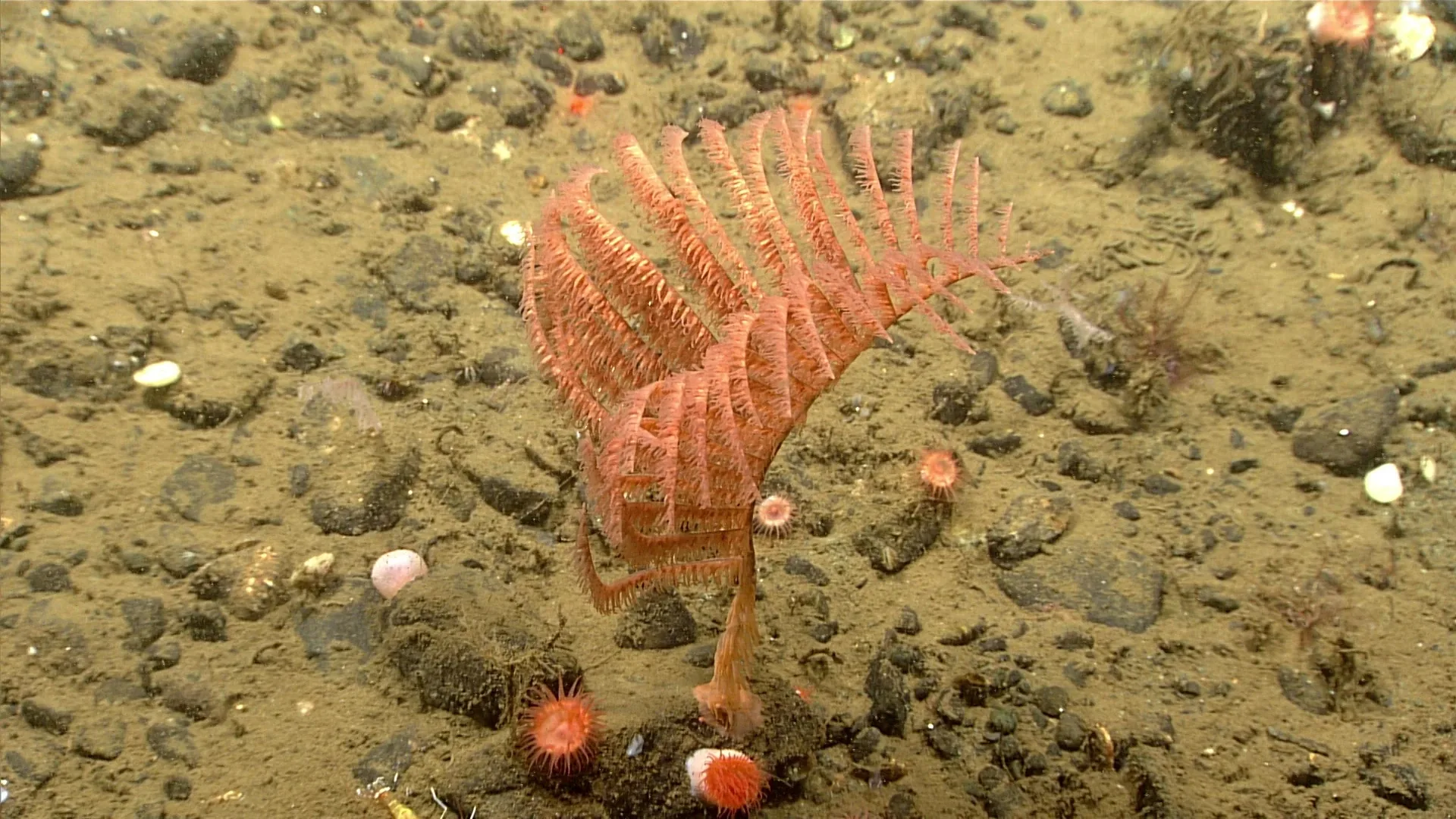
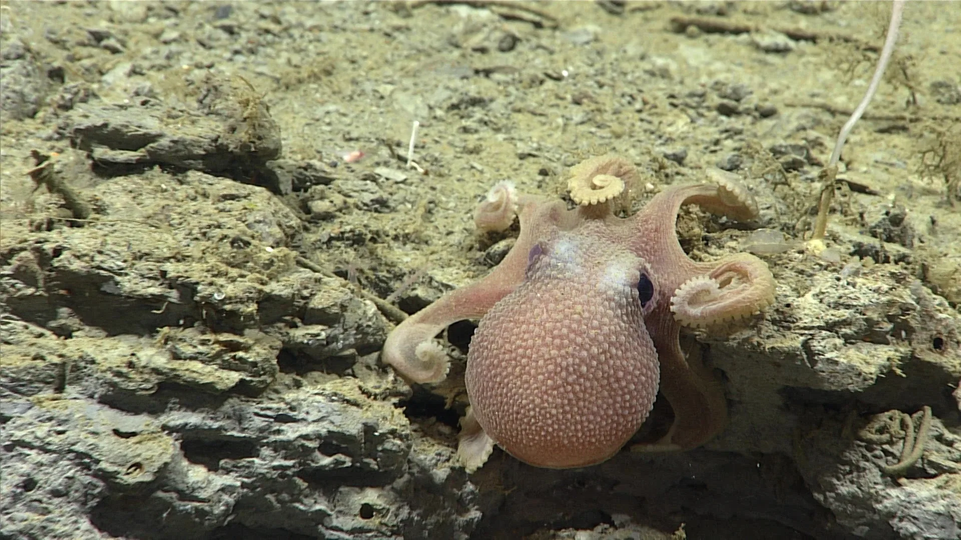
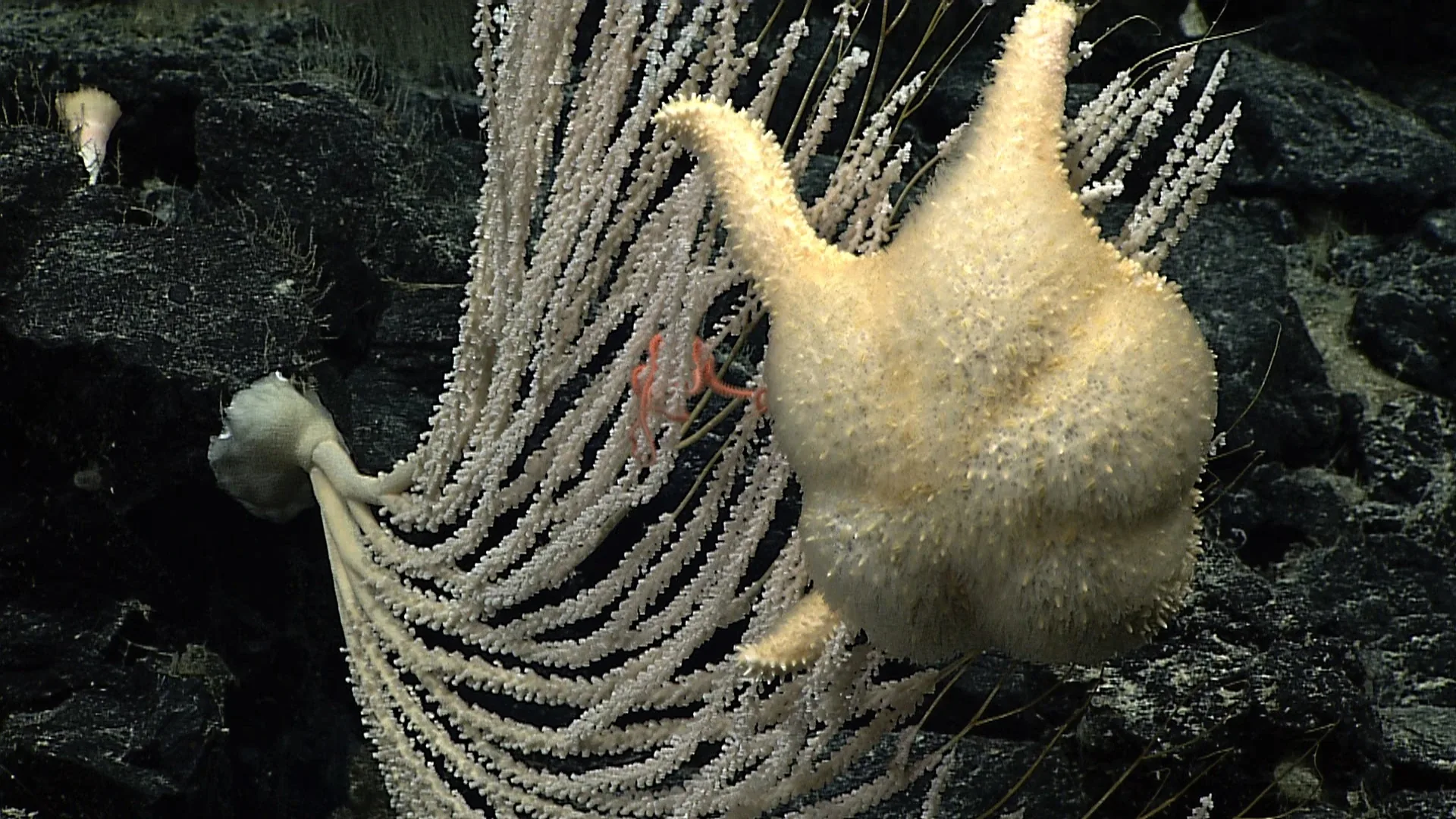
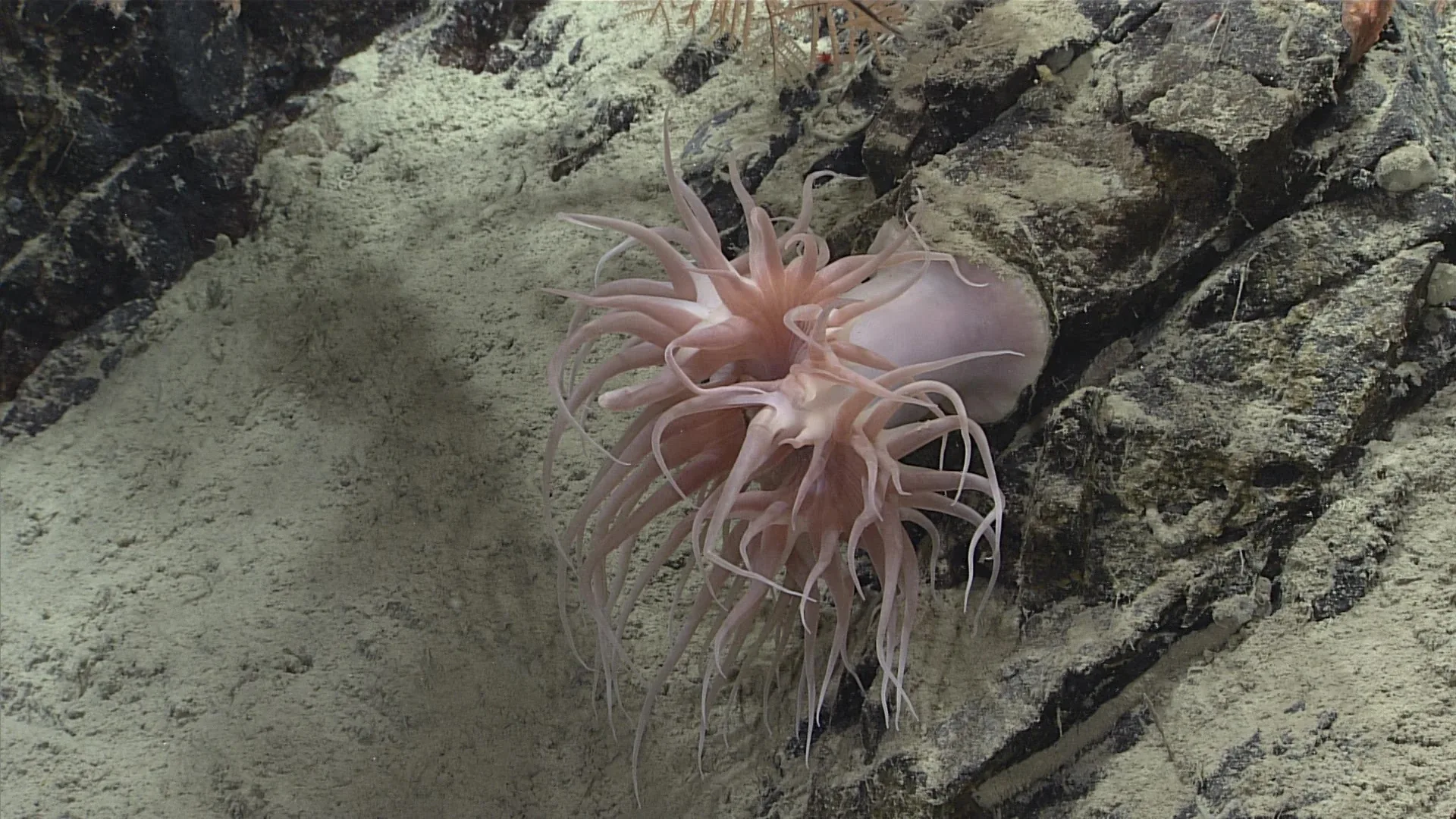
An in-situ photograph can show an animal in its habitat without first removing it from the water. If the caption includes depth, time, location, and expedition, it can establish that an organism was recorded under those conditions. A frame can also preserve visible color, shape, posture, nearby substrate, and the animal’s position relative to other objects.
Those records are valuable because many deep-sea animals are difficult to collect intact. Some fragile organisms can be damaged by nets or handling. Video also reveals relationships between an animal and the surrounding seafloor that a preserved specimen cannot show. NOAA’s Benthic Deepwater Animal Identification Guide links images to dive metadata and taxonomic labels, providing a path back to the observation.
Illumination changes the view
Deep water can be dark, so ROVs carry lights. The lamps reveal animals and terrain but also create the scene the camera records. A reflective shell may flare; a transparent body may become outlined; color can shift with the lamp spectrum and camera settings. Some animals may respond to light or vehicle movement. A photograph is therefore an interaction among animal, water, vehicle, and sensor.
The camera’s distance matters too. A wide field of view captures habitat context but may obscure small features. A close-up can reveal detail while losing the animal’s surroundings. Scale bars, laser dots, and vehicle dimensions can help estimate size, but lens perspective complicates measurements. A large-looking animal near the lens may be smaller than a distant object behind it.
The path was chosen for a reason
An ROV does not wander randomly across the ocean floor. A ship team selects a dive site based on maps, scientific questions, equipment limits, weather, and time. The vehicle may follow a canyon wall, inspect a vent field, or remain on a planned transect. Those choices influence which organisms become visible. A smooth sediment plain, for example, may be sampled differently from a rugged coral slope.
This means that a collection of images can reflect exploration priorities. Areas with prominent geological features or known habitats may receive more dives than less accessible terrain. If an animal appears often in a guide, it may be common, easy to see, or associated with sites that researchers frequently visit. Image frequency alone cannot separate those explanations.
An ROV’s track and dive log help recover context. NOAA’s data tools provide expedition landing pages, tracks, and links to dive information (data access overview). These records let researchers revisit when and where an animal appeared. The dive path can also reveal where the camera was not: a benthic image survey does not represent the entire water column or every side of a canyon.
Seeing is not the same as sampling
Visual observation can identify some animals to species, but others require a sample. Closely related species may look alike, and a juvenile may not have adult traits. Lighting and viewing angle can obscure identifying features. The guide may use “sp.” or a higher-level taxon when species-level certainty is unavailable. That label is not a failure; it is a transparent statement of the evidence.
When a manipulator collects a specimen, the expedition can examine anatomy or obtain tissue for DNA. But sampling changes the evidence: the animal is removed, may be damaged, and no longer remains in its living context. The strongest approach depends on the question. A habitat distribution study may prioritize images, while a taxonomic revision may require physical specimens and genetic sequences.
What a recorded absence means
Researchers improve detection by using repeated transects, consistent camera height and speed, and complementary methods such as traps or sediment samples. They may estimate detection probability by comparing observations across visits. Such designs are more demanding than an exploratory dive, but they allow stronger statements about presence and abundance.
A moving laboratory
An ROV is both a research platform and a mobile observation laboratory. It carries sensors into places where people cannot remain, streams video to scientists, and can collect targeted samples. Its images create a permanent record that can be revisited as taxonomy changes or new questions emerge.
From recognizable motion to measured motion
In 2025, MBARI described EyeRIS imaging of pearl-octopus locomotion. The system reconstructs three-dimensional movement from simultaneous views. This makes arm bending and strain measurable in natural habitat, beyond simply recognizing that an animal crawled. It demonstrates a useful instrument choice: ordinary video can document an action, while a calibrated imaging system can test how the action is performed. Neither measurement is automatically a census of the surrounding community.