Article · Field note 48
Three mineral settings, three habitat questions
“Deep-sea mining” is an umbrella term for activities that could target different geological deposits. Polymetallic nodules lie on some abyssal plains; cobalt-rich crusts form on hard seamount surfaces; polymetallic sulfides occur around some hydrothermal systems. Those sites do not host the same communities, and a single impact model cannot describe them all.
The NOAA State of the Science fact sheet on deep-sea mining reviews potential impacts including seabed disturbance, sediment plumes, noise, vibration, and light. The scientific evidence is still developing, especially for how effects vary among regions and how communities recover. This article focuses on the habitat questions that can be asked before any machinery operates.
Nodules are habitat as well as mineral
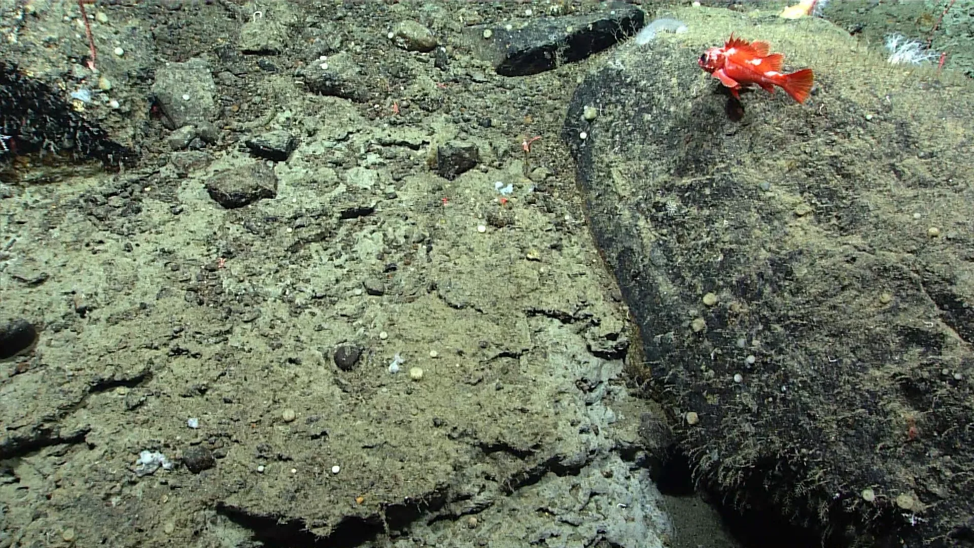
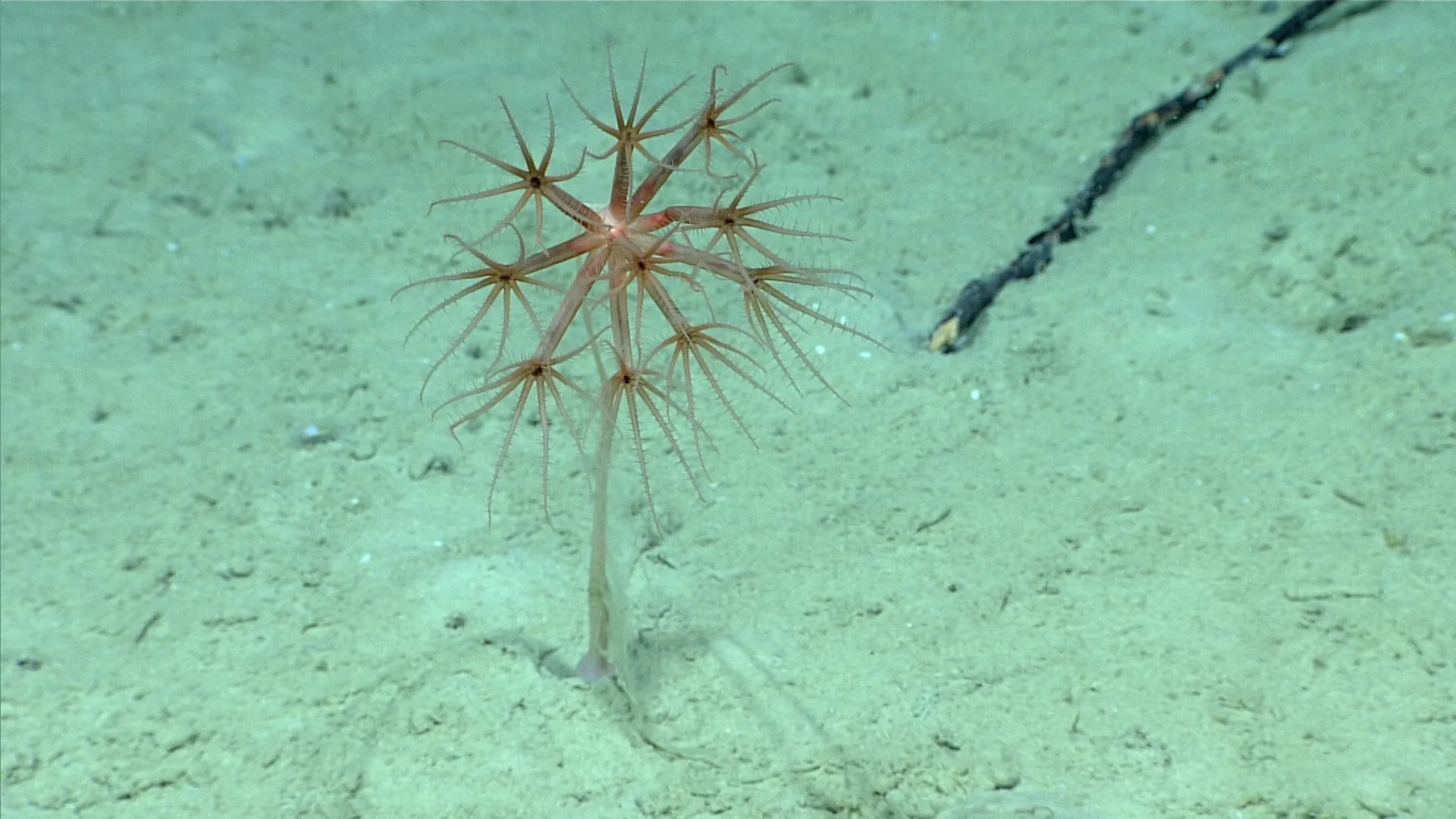
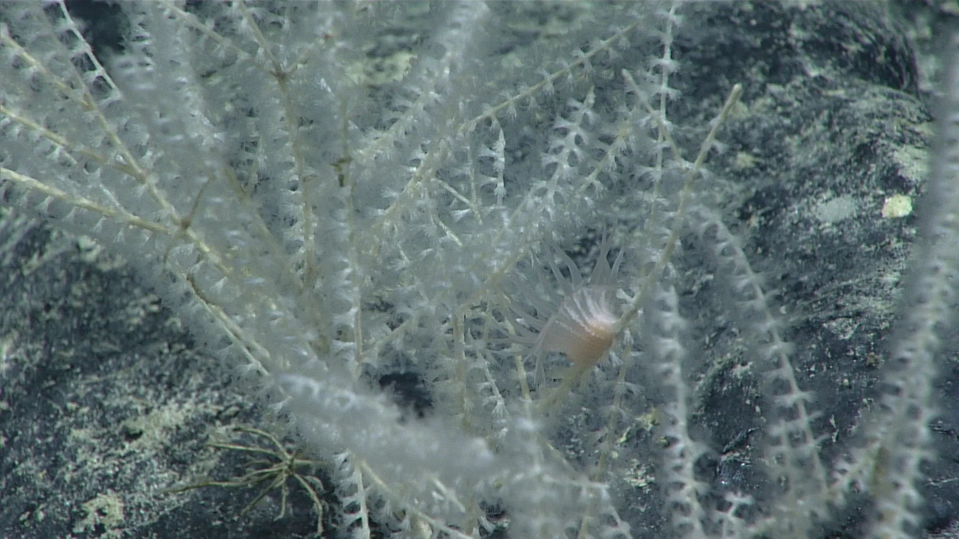
On some abyssal plains, polymetallic nodules provide hard surfaces within broad areas of sediment. Animals can attach to or shelter around them, including sponges, corals, and other organisms. Removing nodules therefore changes more than the mineral inventory: it changes the available substrate and the physical structure of the seafloor.
That effect is local in the first instance, but its ecological scale depends on how widespread the nodule field is, which species rely on the hard surface, and how disturbed areas connect to neighboring habitat. If a species has a narrow range or slow dispersal, the loss of a patch may matter more than it would for a mobile animal with many alternative sites. These questions require baseline surveys at multiple spatial scales.
The International Seabed Authority’s Clarion-Clipperton Zone environmental management plan identifies a network of Areas of Particular Environmental Interest intended to protect biodiversity and ecological structure and function in the region (ISA plan). Protected reference areas can help establish what communities look like away from disturbance, but their value depends on how well they represent the mined habitats and on long-term monitoring.
A plume does not stop at the machine
Collecting nodules or cutting mineral crusts can resuspend sediment. A plume may settle near the source or travel with currents; its reach depends on particle size, discharge method, depth, turbulence, and local oceanography. Fine particles could settle on filter feeders or change how organisms encounter food. The spatial footprint must be measured rather than assumed.
Field experiments and models have begun to test how plumes behave under different conditions. A study of sediment-plume measurements around deep-sea crust exploration combined field data with numerical modelling (research in Scientific Reports). Its findings are specific to the location and plume conditions measured. A plume from a different device, deposit, or water mass may behave differently.
Plumes can be discharged near the bottom or at a depth in the water column after processing. Those pathways may expose different communities. Midwater animals and microbial processes are part of the habitat question even when the mineral deposit sits on the seabed. Research needs to compare particle concentrations with natural background variation and assess exposure duration, not simply map where a cloud was visible.
Vent fields are not replaceable patches
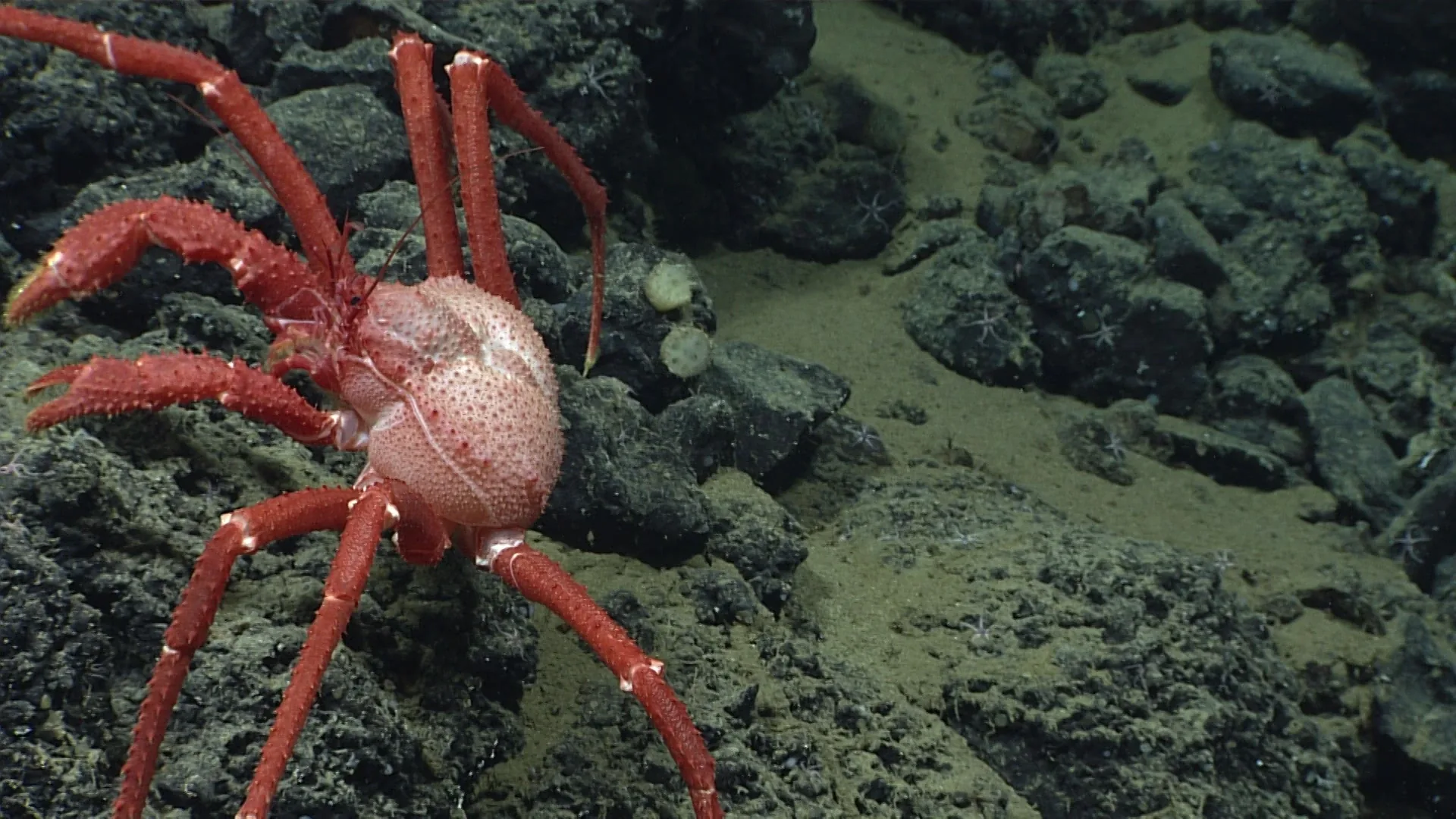
Hydrothermal vents support communities linked to chemical energy and specialized microbial partners. Active vent systems can shift over geological time, but the animals at a site still depend on specific thermal and chemical conditions. Mining a sulfide deposit could alter substrate, discharge, or nearby habitat. The consequences depend on the vent field and its biological community.
Before disturbance, researchers need baseline measurements of species, geology, vent chemistry, current, and natural variability. A single expedition snapshot cannot establish the normal range. Vent fields may differ from one another, so a protected site only serves as a meaningful comparison if it shares relevant ecological features. Genetic connectivity studies can help determine whether populations can recolonize a disturbed site from elsewhere.
Recovery is not simply recolonization
After disturbance, mobile animals may return while habitat structure remains changed. A nodule field cannot regrow nodules on ecological time scales; a coral or sponge may grow slowly; the sediment profile and microbial community can take different paths. “Recovery” must therefore specify what is recovering: visible abundance, species composition, ecosystem function, or physical structure.
What baseline data need to include
A useful baseline combines high-resolution imagery, biological specimens, sediment samples, chemical measurements, water-column observations, and current profiles. It should cover more than the proposed collection track, because plumes and mobile animals can extend beyond it. It should include repeated seasons or years to separate natural variability from project effects.
Monitoring then needs a counterfactual: what would the habitat have looked like without the activity? Nearby reference sites, before-after comparisons, and repeated measurements can help, although no design completely eliminates uncertainty. The ISA’s regional plan provides one framework for spatially organizing protection and comparison, while each local environmental assessment must address the deposit and community at hand.
A question of scale and irreversibility
Potential impacts range from a vehicle track to sediment deposition, chemical exposure, and noise. Some effects may be detectable only in small organisms or microbial processes. The challenge is to measure both the immediate footprint and the ecological connections beyond it. A low local plume concentration does not automatically mean no biological effect; a short-lived disturbance does not automatically mean long-term collapse. Evidence is needed for each claim.
What a 44-year revisit changes
A 2025 study of a historical mining-test track found persistent physical disturbance alongside signs of biological recolonization after 44 years. Those findings are compatible: some organisms can return while the original habitat remains altered. Recovery therefore needs a defined endpoint, such as community composition or substrate condition. A small historical test also cannot establish the outcome of commercial operations covering a much larger connected area.