Article · Field note 46
A photograph needs a trail
A deep-sea photograph becomes useful beyond its original expedition when readers can find the conditions under which it was taken. Taxonomic label, date, depth, location, vehicle, and dive number connect an image to a source record. Without that trail, later researchers may be unable to verify the identification, compare the observation with another site, or see whether the name has changed.
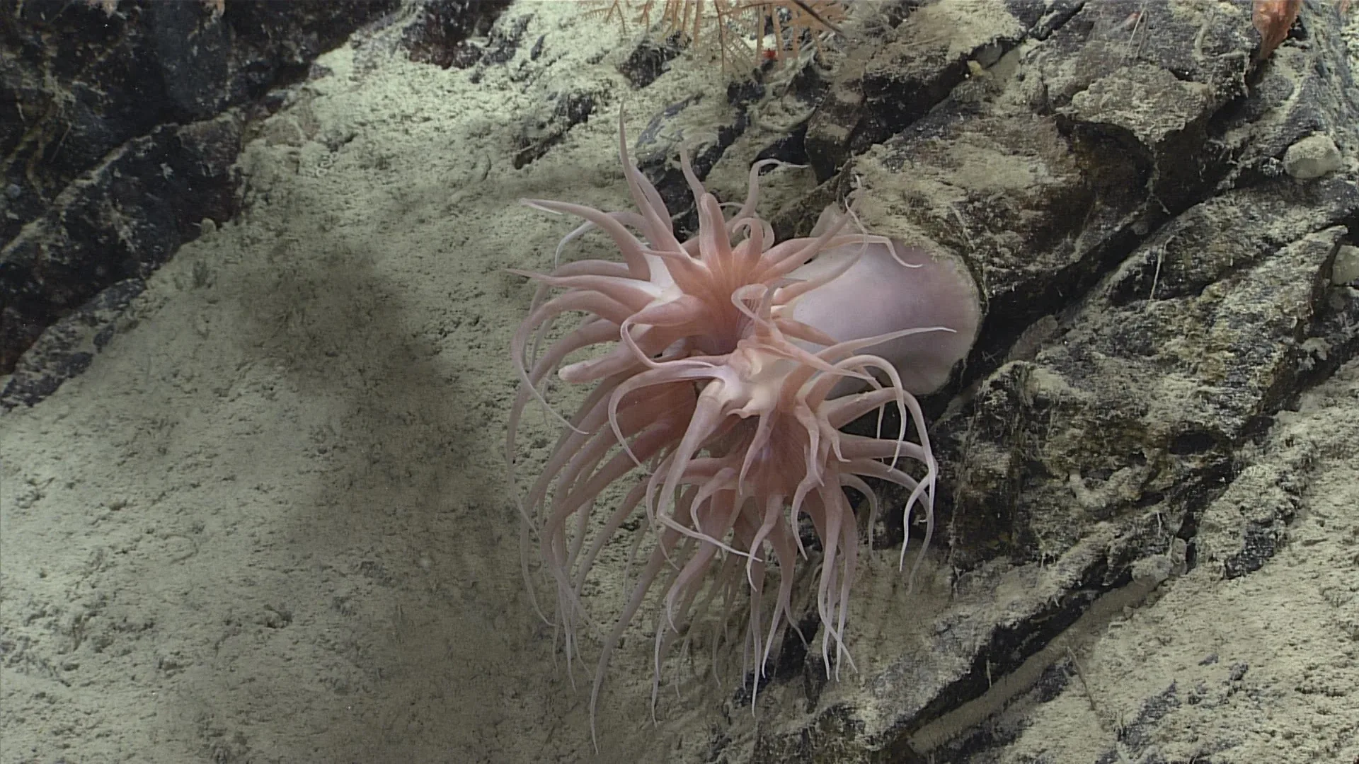
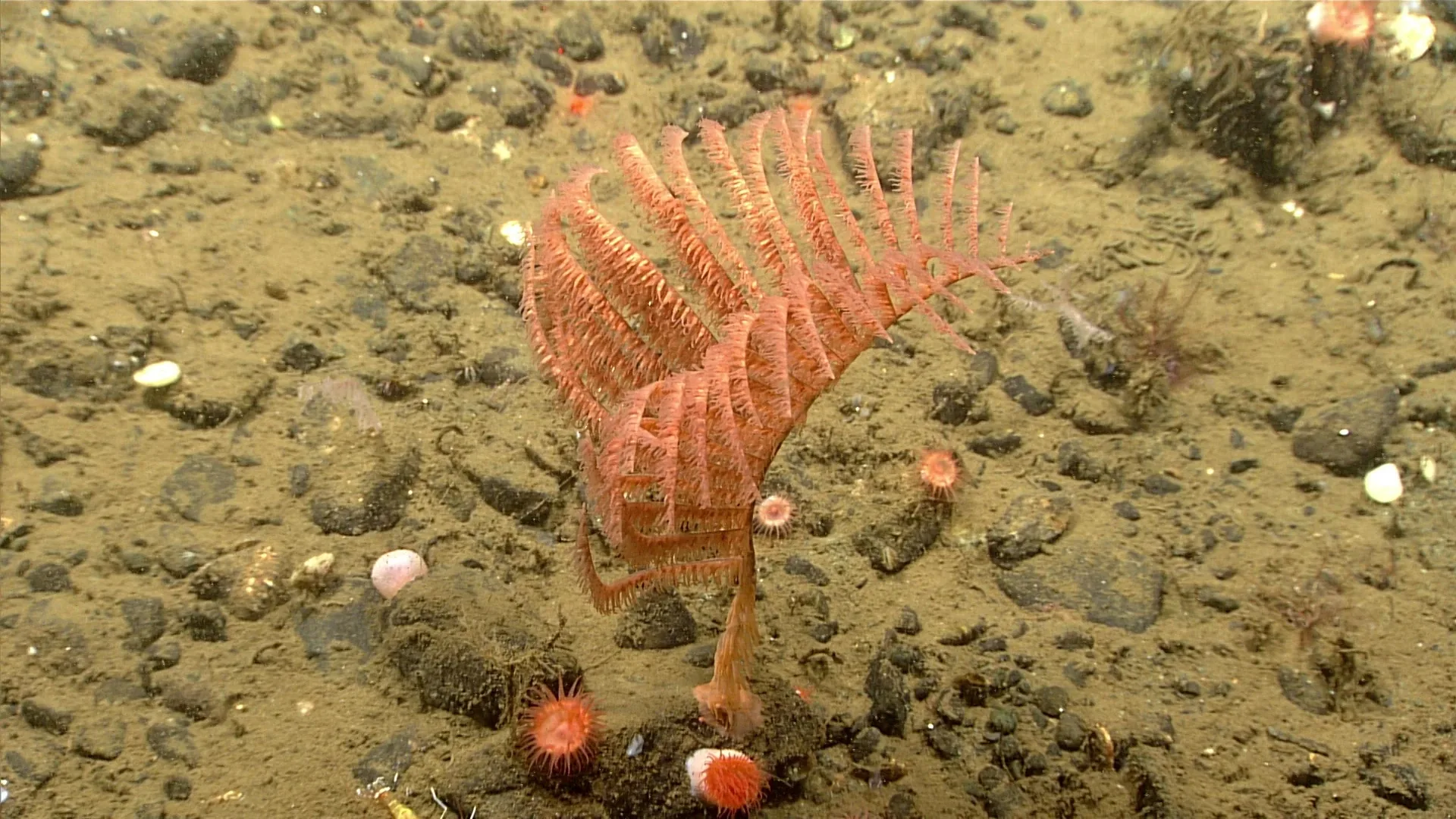
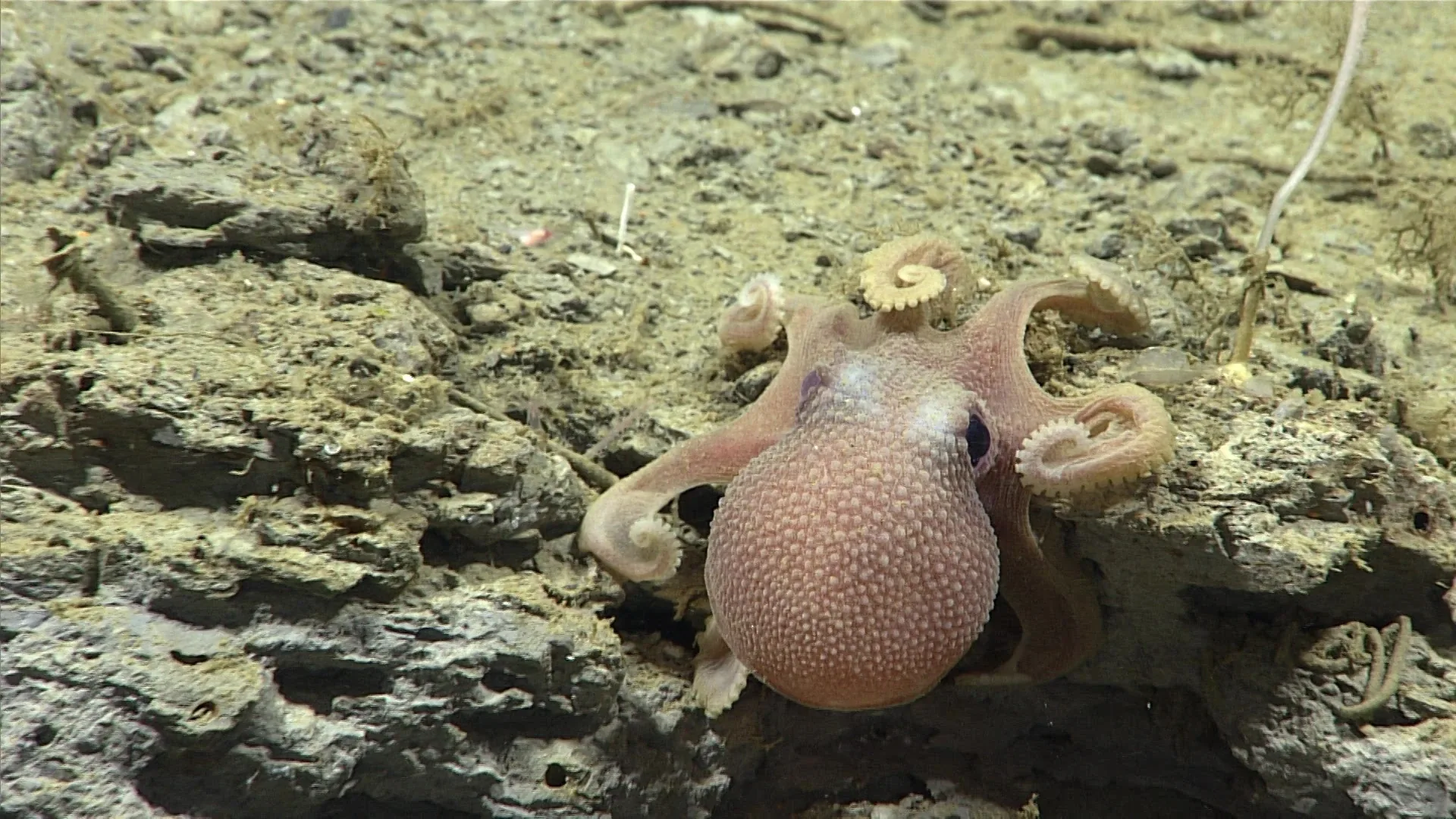
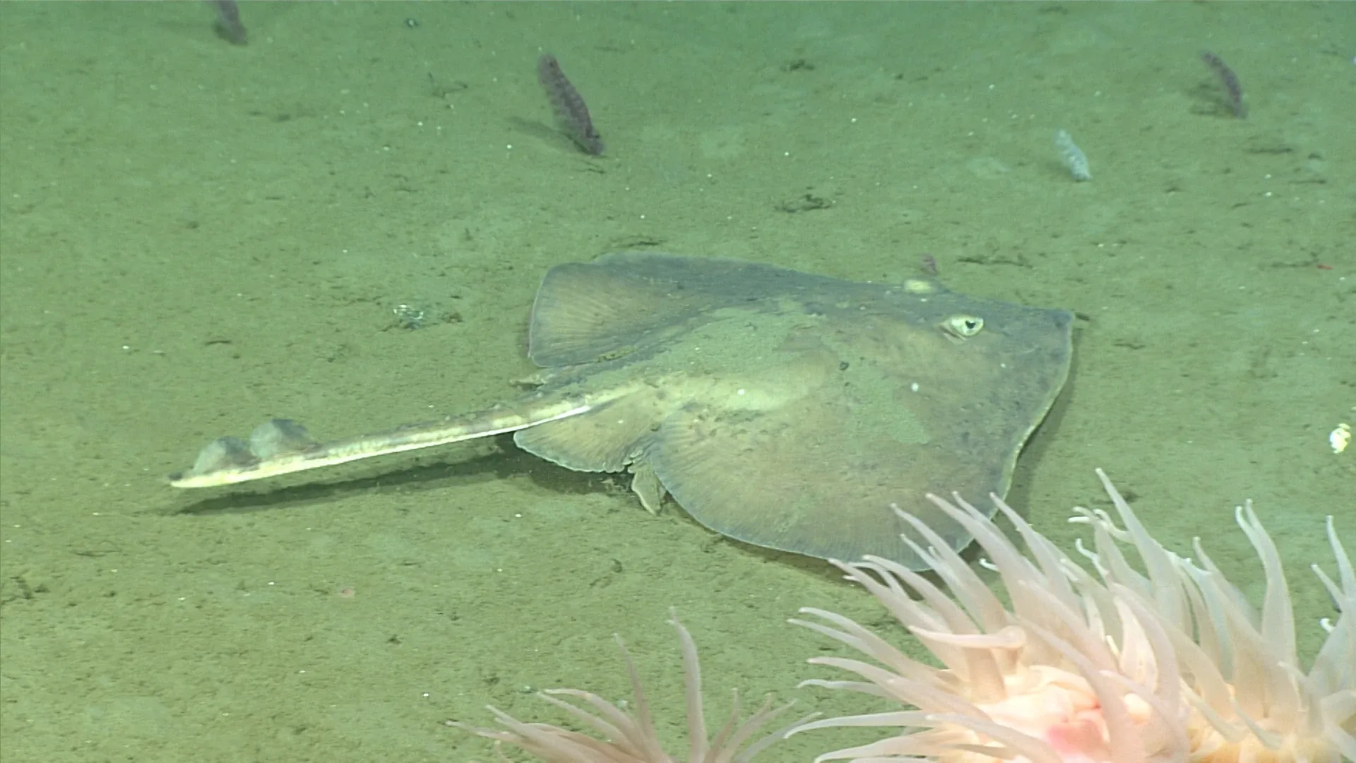
NOAA’s Benthic Deepwater Animal Identification Guide links images to expedition information and, where known, taxonomy, depth, ocean, region, locality, environmental conditions, and the dive landing page (guide and metadata description). The collection is made from in-situ imagery recorded during Okeanos Explorer expeditions with the ROV Deep Discoverer. The metadata turns each frame into an observation that can be revisited rather than an isolated illustration.
The parts of a reusable record
At minimum, a useful observation includes a stable identifier, the file or video segment, time, coordinates or locality, measured depth, expedition and dive, taxonomic determination, and credit. The exact fields depend on the platform. If an image is a derivative—cropped, color-corrected, or converted—the record should preserve the source file and describe the processing.
Depth and place names need context. A seamount or canyon may cover a large region; a dive may follow only one segment. Coordinates are more precise when the navigation method and uncertainty are known. A depth reading can come from vehicle sensors, ship equipment, or metadata attached to the dive. Stating which record was used prevents a locality label from being mistaken for an exact microhabitat.
Taxonomy also needs a history. An animal may first be labeled to family, then assigned a genus after expert review. A later revision may update the species name. Good databases preserve the original determination, the revised name, the person or source responsible, and the date of change. This makes it possible to understand why two publications use different names for what appears to be the same observation.
Dive logs make video searchable
An ROV expedition can produce hours of video, many still images, and sensor files. A time-stamped science annotation points to a moment in that larger record. It can record an animal, geological feature, sampling event, or behavior. NOAA’s science-annotation overview explains how observations can be searched by expedition, dive, content, and contributor.
An annotation is not the video itself. It is a guide to where a human observer saw something and what they thought it might be. Later review can check whether the frame supports the label, and a specimen can clarify the species. Linking the annotation to source video preserves that distinction and makes corrections possible.
Open data tools can also connect a dive to its route, sensor stream, samples, and expedition report. NOAA’s data access tools include maps and links to downloadable or viewable data. These connections matter because an animal’s image may be interpreted differently once the surrounding habitat or environmental conditions are known.
Provenance protects against accidental overclaiming
Provenance is a record of where information came from and how it changed. For an editorial image, that can include the original NOAA URL, the credit wording, a local file hash, dimensions, format conversion, and the derived cover path. For an article claim, it can include the source title, publisher, URL, date, and the sentence or subject the source supports.
Keeping image rights and scientific provenance separate is important. A public-domain status may permit reuse under a publisher’s guidance, but the scientific caption still needs a clear attribution and the exact source file. If an image carries its own label or logo, an edited version should not hide that record. A copyright statement and a species identification answer different questions.
Data files can also be altered accidentally. A derivative can lose EXIF metadata; a filename can be separated from its source; a CSV export can change coordinate precision. Checksums provide a way to verify that a file has not changed since it was cataloged. They do not prove that the source identification was correct, but they protect the integrity of the file itself.
An open record can be corrected
Open access allows people outside the original expedition to examine a record. Taxonomists can suggest a revised name; educators can connect an image to a habitat; data scientists can compare occurrences. That reuse depends on adequate metadata and clear terms of use. A photo with no caption may attract attention, but it is difficult to build dependable knowledge from it.
Corrections should be logged rather than silently overwritten. If an image’s taxon changes, both versions of the identification can be kept with the reason and source. If a coordinate was rounded or a depth unit misread, the correction should be transparent. A revision history prevents future users from mistaking the old value for an independent observation.
A record is only as useful as its fields
Standards help different organizations share records. Common taxonomic vocabularies, date formats, coordinate references, and controlled field names make data easier to combine. The NOAA guide, for example, notes that its taxonomic classification follows WoRMS. Standardization does not eliminate disagreement; it provides a stable place to document it.
From field note to scientific evidence
An observation moves through stages: a scientist sees an animal; an annotation records a provisional label; an expert reviews the image; a specimen or genetic sequence may refine the identification; a database publishes the record. Each step adds information and may introduce uncertainty. A transparent system shows where the record stands.