Article · Field note 21
A record close to a boundary
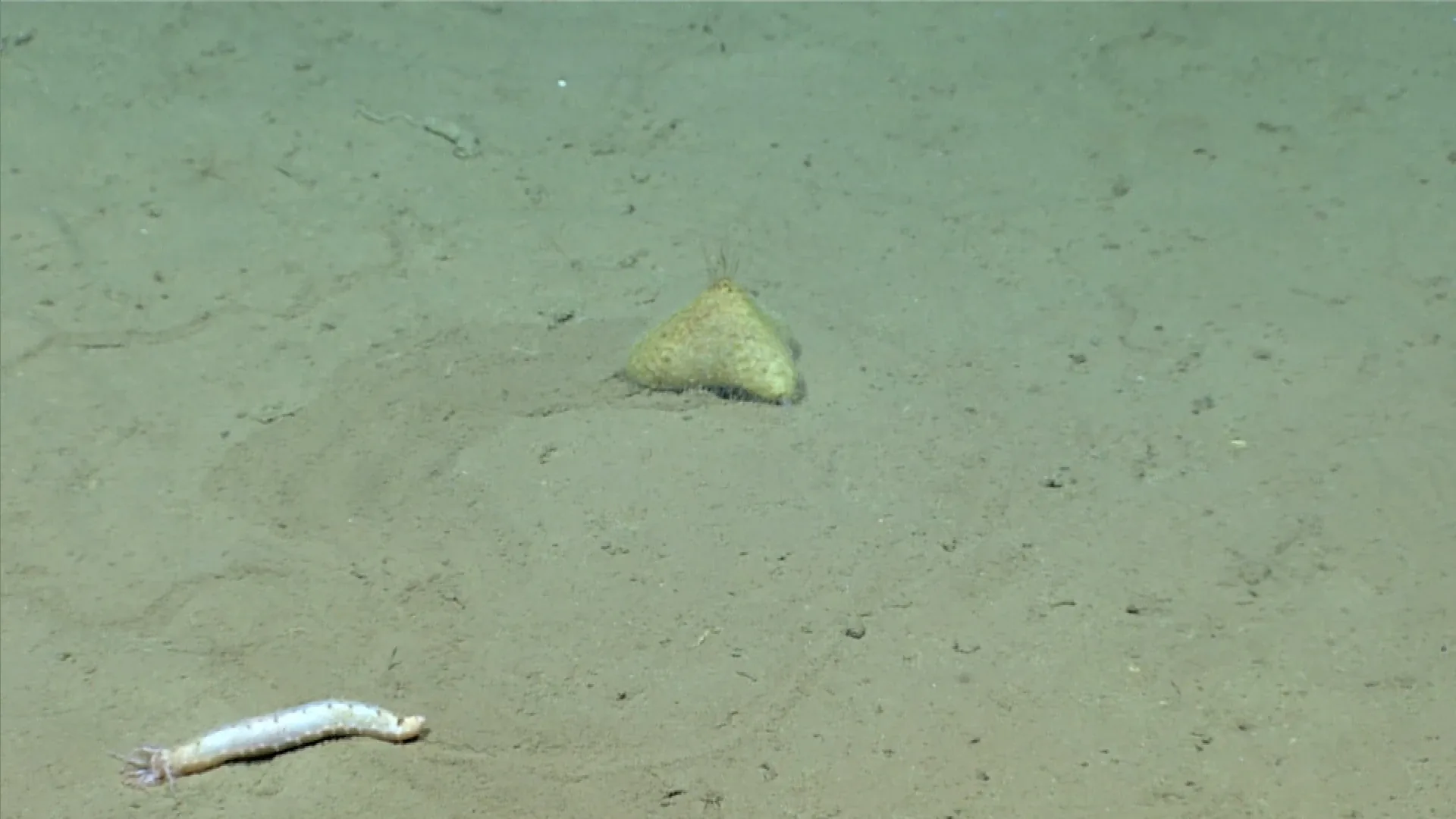
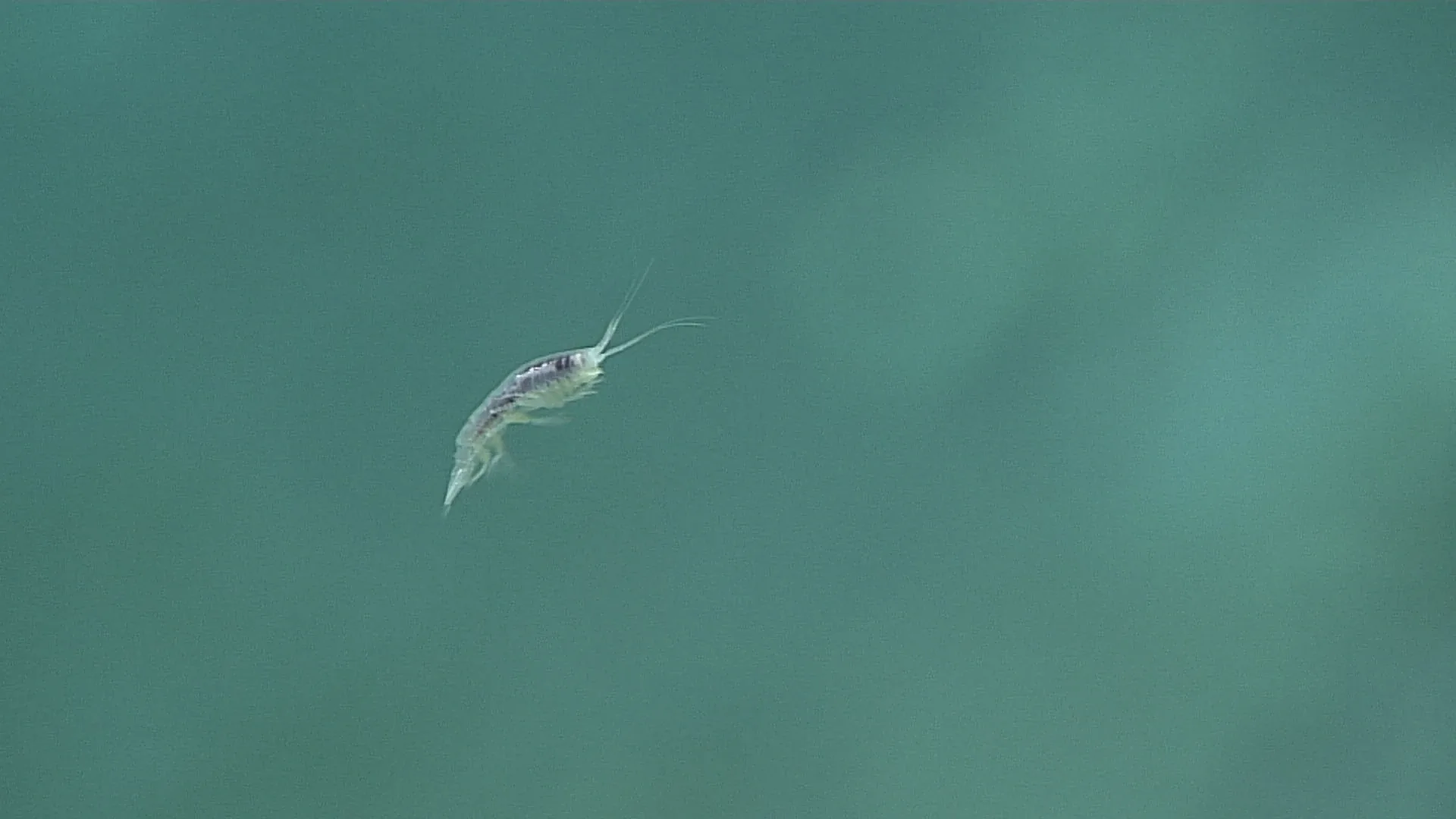
The NOAA animal guide includes a 5,955-meter observation in the Mariana Trench, identified only as “Bateidae?” in the image record. This article is about the boundary itself. The commonly used hadal zone begins at about 6,000 meters, so the recorded depth sits just above that conventional threshold. The difference is only 45 meters, but it changes the formal label. A deep trench and a hadal observation are related ideas, yet they are not identical descriptions.
The question mark in “Bateidae?” is equally important. It indicates that the identification is not presented with the same confidence as a named species. Bateidae is a fish family, not a species. The guide’s label allows a reader to say that the image was assigned to a family-level group with uncertainty. It does not support a species name, a common name, or claims about the animal’s precise biology.
What makes a trench different
Ocean trenches are long, steep depressions associated with tectonic boundaries where one plate moves beneath another. Their shape creates extreme depth, pressure, and isolation from many other seafloor habitats. The Mariana Trench is the deepest known ocean trench, but even within one trench the bottom is not a single uniform environment. Slopes, trenches, sediment, water chemistry, and food supply vary along its length and across depths.
As depth increases, pressure rises. Cold, darkness, and limited food characterize many trench habitats, but conditions also depend on water circulation and the trench’s physical structure. Deep-sea animals are not simply surface organisms crushed by pressure. They are adapted through biological and biochemical features that allow cells and tissues to function under the conditions where they live. A record near 6,000 meters is a chance to discuss those gradients without claiming that every trench species has the same adaptations.
The 6,000-meter boundary between abyssal and hadal zones is a useful convention, not a cliff in the water. Pressure and food do not change abruptly at exactly 6,000 meters. Biologists need zone names for comparison, but ecological processes vary continuously. This is similar to a map line between neighboring counties: useful for organizing information, but not a physical wall that animals can sense.
What a family-level label means
Taxonomic identification has levels. A high-quality image may show enough features to identify a species; another frame may support only a family or order. Low contrast, distance, angle, partial occlusion, and the animal’s size all affect how much detail is visible. Expert taxonomists may use video before and after the still, comparison with known fauna, and collected specimens. The family label “Bateidae?” is therefore a cautious statement about what the record could support.
The label does not mean the observation is useless. A family-level identification can still help describe the animal’s body form, habitat, and place in a survey. It can guide future sampling or point to a group that needs closer study. The uncertainty should stay attached to the claim, though. Turning “Bateidae?” into a species name for a more vivid headline would create knowledge that the record does not contain.
The same applies to the image’s location. NOAA’s record gives the Mariana Trench at 5,955 meters. It is accurate to say the image was recorded there. It is not accurate to say “this species lives in the hadal zone” because the image does not identify a species and the depth is below the conventional hadal threshold. This may feel like excessive precision until the article is reused in a classroom or database; then those details determine whether the next person learns the right thing.
The camera at the edge of its range
ROV work at great depth requires systems that can withstand pressure and preserve image quality in darkness. The vehicle’s lights reveal only a small patch of bottom at a time. Visibility depends on suspended particles, the distance to the animal, and the angle of illumination. A small fish on a wide trench floor may occupy only a few pixels, making fine identification difficult.
The camera also records a route chosen by people and instruments. A vehicle may follow a slope, cross a trench, or pause at a point of interest. The resulting image archive is not a random sample of every organism at that depth. It reflects the expedition’s questions, equipment, time, and navigation. Repeated transects with calibrated speed and altitude are needed to compare abundance across sites.
For a trench record, metadata deserves particular attention. Depth, time, coordinates, vehicle, and dive are not administrative details; they define what was observed. If a depth sensor is miscalibrated or a locality label is too broad, future comparisons can become misleading. A robust archive preserves raw dive records and permits corrections when calibration or taxonomy changes.
What we can responsibly conclude
The close approach to 6,000 meters makes the record memorable, but the most useful part of the image may be the question mark. It demonstrates that science can preserve uncertainty rather than disguise it. The habitat boundary is a convention, the family label is tentative, and the observation remains valuable because its depth and place are recorded. At the edge of the known ocean, precision is a form of respect for what the camera actually showed.