Article · Field note 22
A canyon is a route through the margin
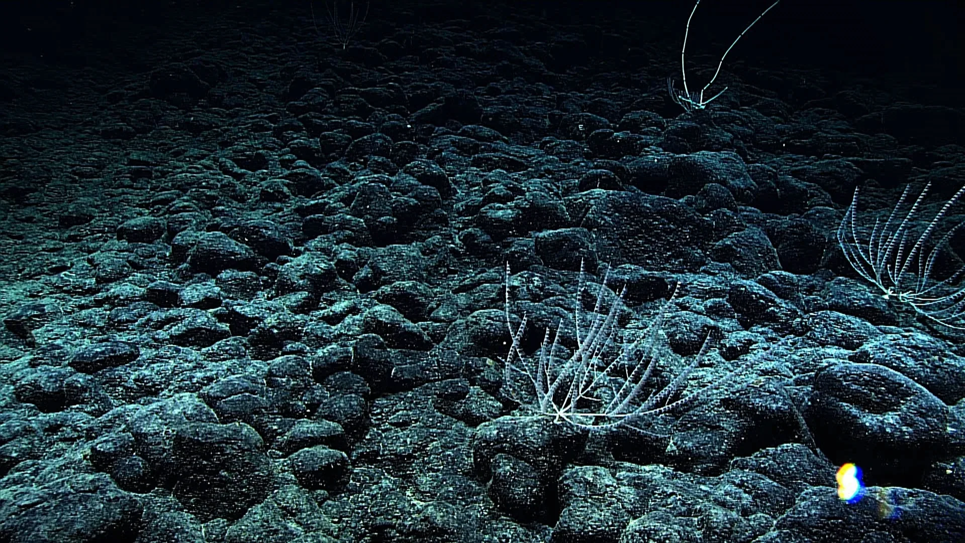
Submarine canyons cut through the continental shelf and slope, creating steep routes from shallower water toward the deep ocean. They differ in shape, sediment, current, and nearby productivity. NOAA’s animal guide records the black coral Lillipathes wingi at 2,197 meters in Middleton Canyon in the Gulf of Alaska. The coral is a traceable example of attached life within a canyon setting, not a representative census of the whole feature.
The topography can redirect water and sediment. In some places, dense flows carry particles downslope; in others, currents focus food or expose hard surfaces. A canyon can also contain ledges and walls where corals, sponges, and other invertebrates attach. NOAA’s description of deep coral habitats notes discoveries in canyons and explains that coral and sponge structures support other marine life. These patterns vary by canyon: the geology of one does not predict every other.
Why canyons can concentrate life
The steep walls and changing contours create many microhabitats close together. A soft-bottom channel may sit beside a rocky ledge. A current may carry suspended food across one wall and leave another relatively sheltered. Animals can use these differences for feeding, movement, or refuge. A mapped canyon is therefore more than a line on a bathymetric chart; it is a three-dimensional landscape with conditions that shift over short distances.
Canyons may also receive material from higher on the margin. Sediment, organic particles, and debris can move downslope through gravity-driven flows or currents. This does not mean that every canyon is a conveyor belt operating continuously. Events can be episodic, and the route depends on slope, sediment type, and hydrology. Instruments and sediment cores are needed to determine how often material moves and how much reaches a particular depth.
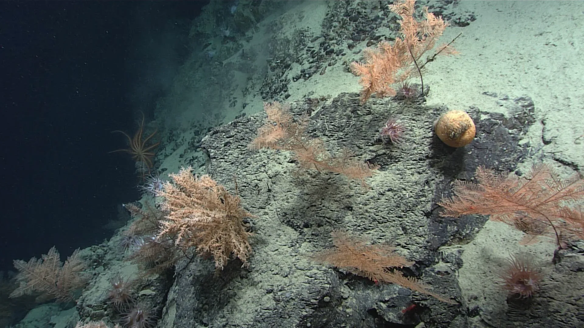
The organisms themselves can shape the canyon habitat. Deep corals and sponges add structure to exposed surfaces, while crabs, fish, octopuses, and brittle stars occupy different parts of the terrain. NOAA notes that canyon walls in the Northeast Canyons and Seamounts region support filter-feeding invertebrates and larger animals. That example demonstrates a mechanism, not a universal species list for Middleton Canyon. Local surveys remain essential.
A coral records one point on the wall
Black corals such as Lillipathes are attached animals with branching colonies. Their polyps capture food from water moving past. The cover record places this coral at 2,197 meters in Middleton Canyon. The animal may be attached to rock or another hard surface, but the selected frame does not show every detail of the substrate. It also cannot establish whether the colony is isolated or one of many nearby.
The distinction matters for ecological interpretation. An isolated colony can offer attachment points and shelter, while a dense coral garden can create a larger habitat patch. The two settings may support different numbers and kinds of associates. A close-up photograph emphasizes the coral’s form; a transect shows how frequently colonies appear across a measured distance. Both are useful, but they answer different questions.
A camera’s path is not a canyon survey
An ROV follows a selected route. Pilots and scientists choose depth, altitude, speed, and direction based on the expedition plan and the terrain. A camera may focus on visible animals, unusual features, or safely navigable areas. Steep walls can be difficult to approach, and sediment plumes can obscure visibility. The resulting image set is a record of encounters under specific conditions, not an unbiased inventory of all canyon life.
To compare two canyon areas, researchers need consistent methods. They might run repeated transects at the same altitude, classify substrate, measure current, and record animals per unit distance. A trawl or trap could add information but may damage fragile organisms or miss terrain that a vehicle can access. Surveys are often combined because no single method samples all organisms and habitats equally well.
The NOAA dive record for L. wingi is valuable because it preserves the species name, depth, locality, and dive link. Later researchers can revisit the full video, inspect adjacent frames, or compare the same canyon with future expeditions. If the identification changes, the image remains as evidence for the correction. Data provenance turns a photograph into a durable scientific record.
Canyons, fisheries, and habitat sensitivity
Some deep-sea corals grow slowly and create long-lived structure. Physical damage can remove branches and the associated habitat, and recovery may take a long time. NOAA Fisheries discusses deep coral habitat as important to fish and invertebrates and describes restrictions on bottom-contact gear in some areas. Management rules are region-specific; an article should link to the relevant fishery plan rather than imply that one rule applies to every canyon or country.
The relation between habitat and fishing also depends on where gear is used and what the bottom is like. Towed gear can disturb seafloor structures, but effects vary with substrate and intensity. A canyon wall with slow-growing coral may be more vulnerable than a dynamic sediment channel. Good management requires maps, monitoring, and a clear account of uncertainty. The fact that a coral was recorded in one canyon does not by itself define a protected boundary.
A landscape that asks for repeat visits
Submarine canyons connect habitats through moving water, sediment, and animals. Their steep shape can focus ecological processes, but their communities are locally specific. A coral image at 2,197 meters shows one organism within that complex setting. The canyon becomes understandable when readers combine the photograph with topography, repeated surveys, and the source record that tells exactly where the camera was.